FATE OF NATURAL AND ANTHROPOGENIC MERCURY AND THE MARY RIVER, SE QLD:
A CHRONICAL OF LEGACY GOLD MINING, SUGAR CANE CROPPING AND HG-ORE DEPOSITS
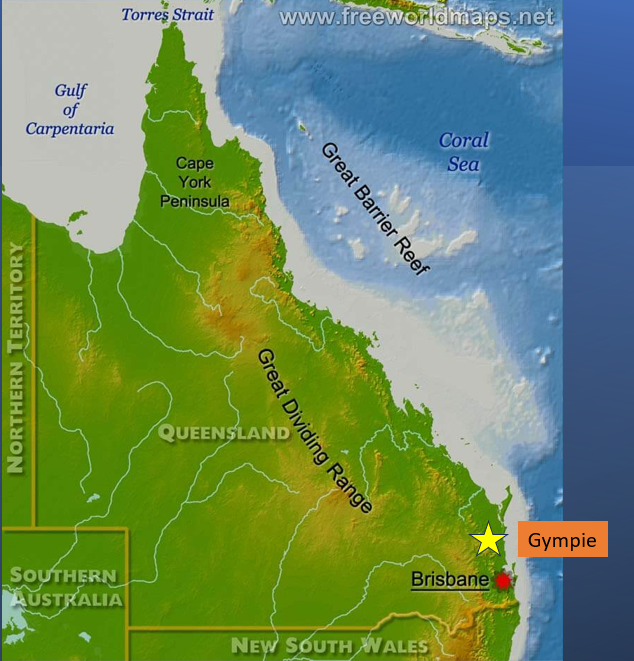
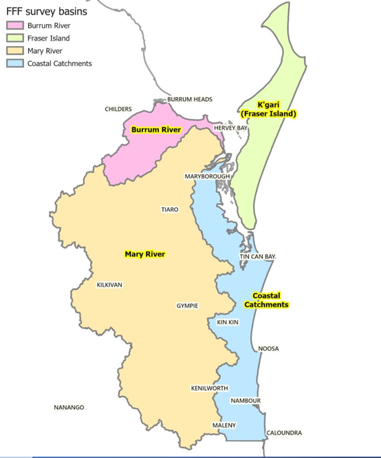
Gympie, renowned for a gold discovery in 1867 in the nascent state of Queensland lies on the Mary River. An ensuing gold-rush transformed Gympie into a major gold producer with some 116t of gold won from >40 large mines in the historic period to 1925. *Mercury amalgamation in at least 10 batteries was responsible for most gold recovery. Tailings were discharged either directly or to creeks draining to the Mary. At Cinnabar on a tributary of the Mary ore deposits discovered in 1872 were worked for Hg periodically through to the end of World War II. Additionally, Hg-based fungicides have until recently been utilized by the sugar cane industry on land in the lower reaches of the Mary. The fate of these Hg sources in a river that discharges into Korrawinga (Great Sandy Strait) which borders K’gari – a combined Ramsar/World Heritage site, is unknown.
*Currently working on updating this number ’10 batteries’ as new research comes to hand
→ Gympie Battery Locations — compiled reference list and map (24 sites, with interactive map)
FATE OF NATURAL AND ANTHROPOGENIC MERCURY AND THE MARY RIVER, SE QLD: A CHRONICAL OF LEGACY GOLD MINING, SUGAR CANE CROPPING AND HG-ORE DEPOSITS
Talk given to Mercury Symposium 2023: Australian Research Contributions to Understanding the Global Cycling of Mercury
Mary River, Queensland, Australia
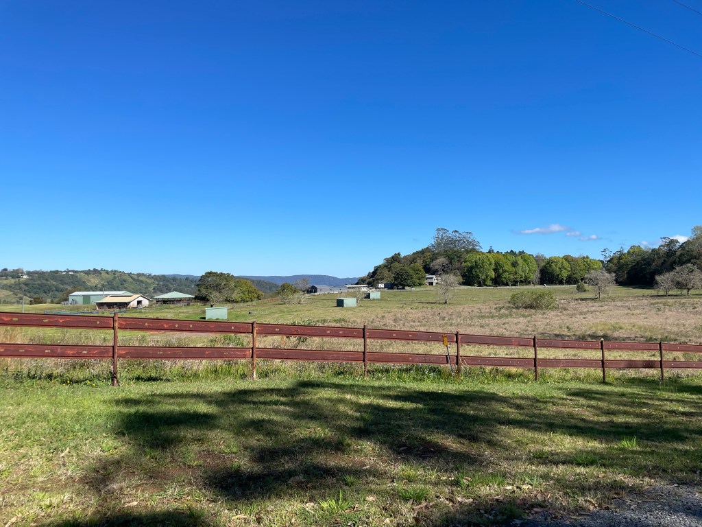
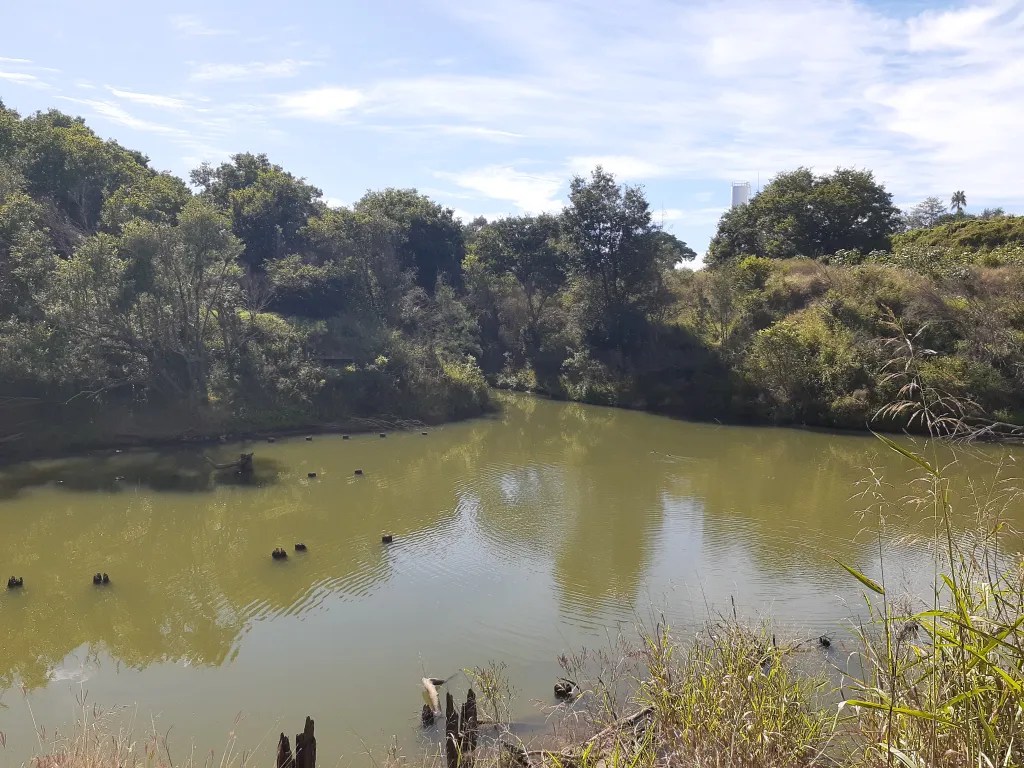
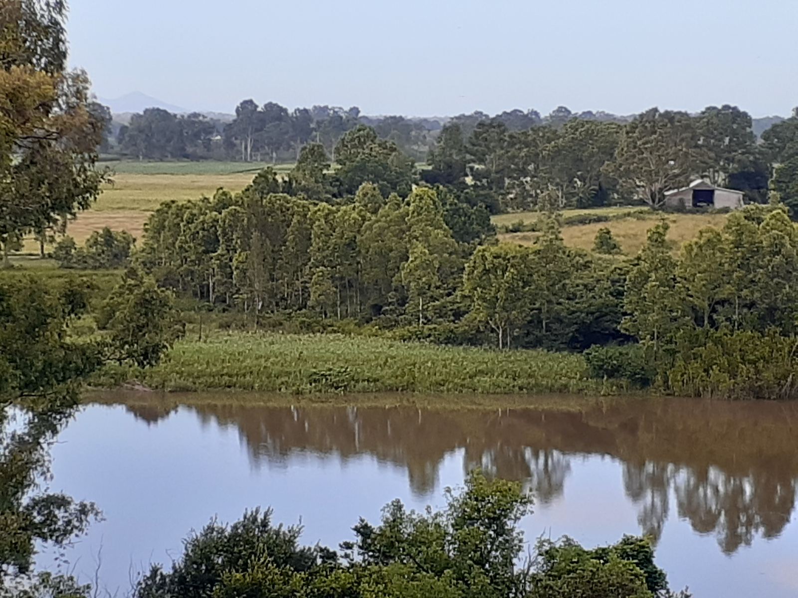
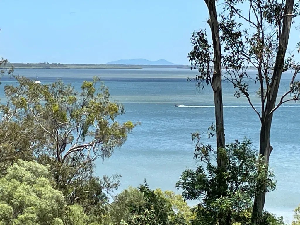
Mary River Kayak Expedition: Gympie to Bells Bridge; 4 Oct 2025
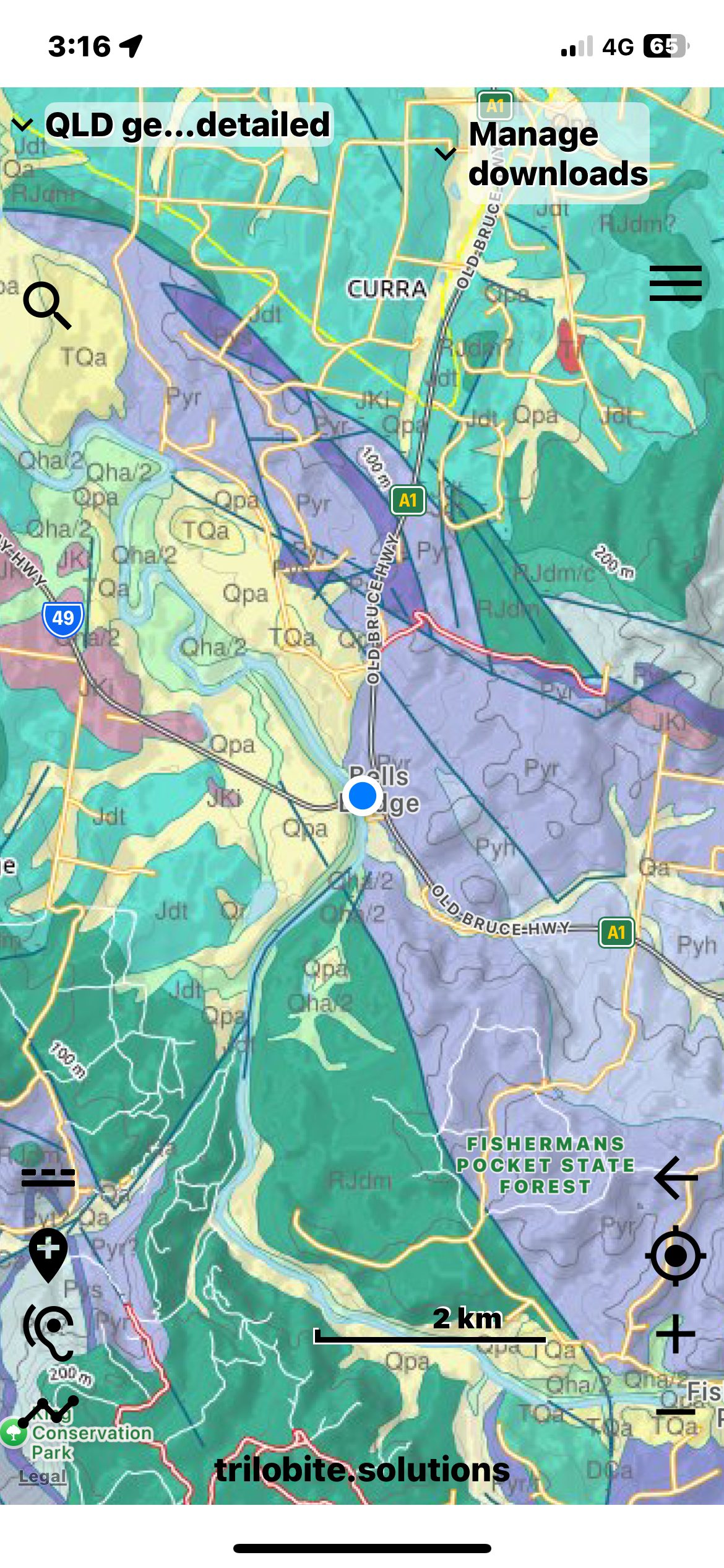


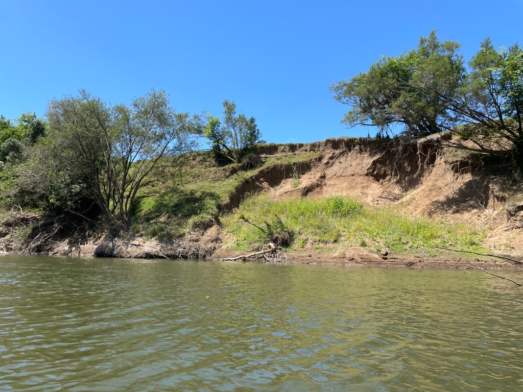


Gympie Library Talk 26 Feb’ 2026
Gympie’s Gold…………..Mercury’s Role


