Local Identity: Nick Schulz
The following is an account of discussions with Mr Nick Schulz of River Heads (Hervey Bay). A suggestion had been made to me that I talk with Nick as he was a fount of information concerning K’gari (Fraser Island) and Hervey Bay.
Nick is a Hervey Bay local professional fishing identity as this video demonstrates: ‘My Story: Queensland trawl-fishing legend Nick Schulz’.
After a few phone calls I arranged to drop in on Nick at his home at River Heads and discuss his connection with K’gari.
I first spoke with Nick on the 8 Dec 2024.
During our chat Nick mentioned that during exploratory drilling using hand augers whilst prospecting for mineral sands on K’gari near Bogimbah Creek in the 1960s, ‘Gravel (was) intersected at 110ft depth’. According to Nick the gravels were attributed to the Mary River by a geologist associated with the project.
During a telephone call in September 2026 I followed up on this observation with Nick when we discussed further the sand mining projects on K’gari. Nick had effectively worked for various iterations of the one company: NSW Rutile, Murphy Ores, Signal (Pacific) Zircon, Dillingham, and DM Minerals.
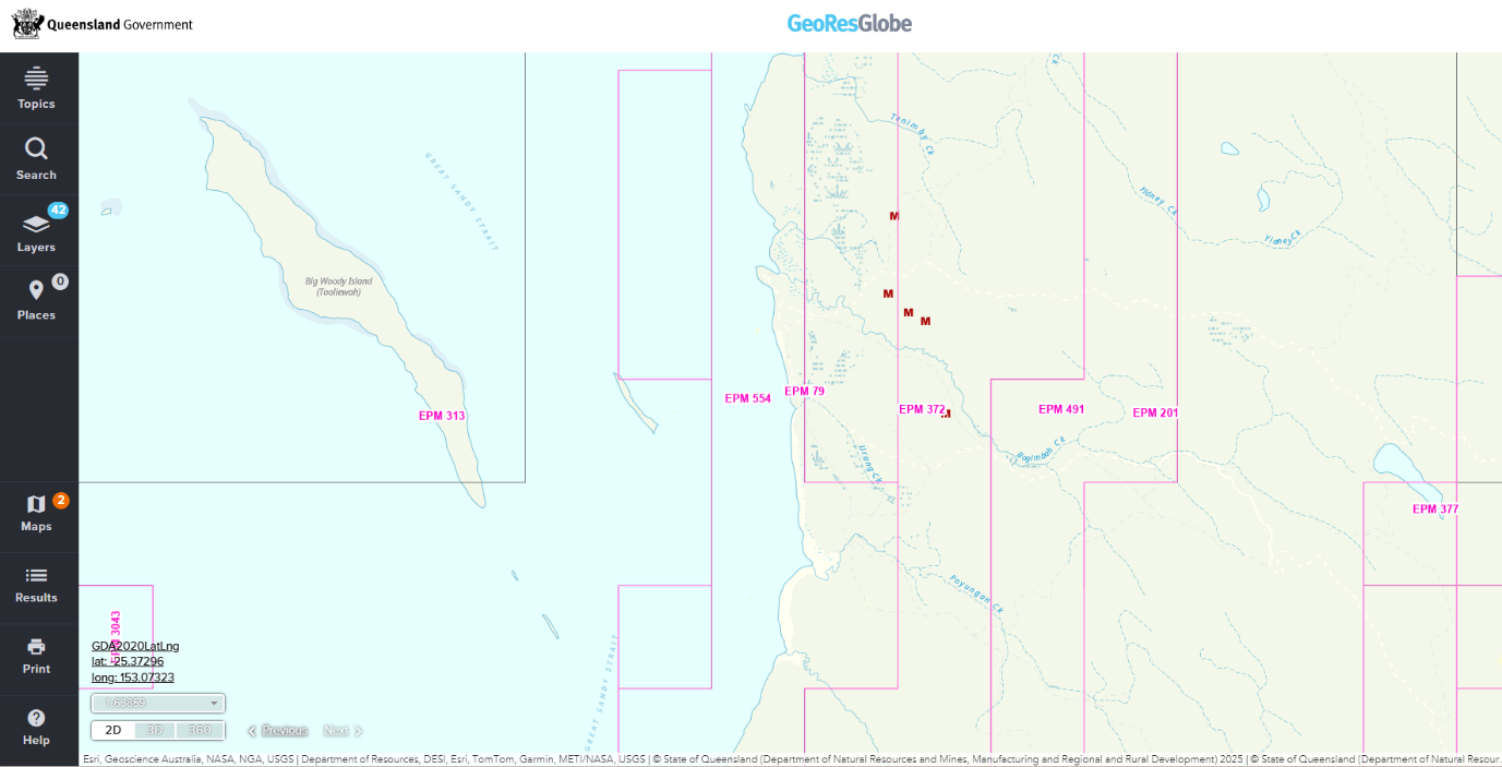
Using the Queensland Government’s GeoResGlobe system for exploring historical exploration and mining reports, a search was made for exploration activity in the Bogimbah Creek area of K’gari.
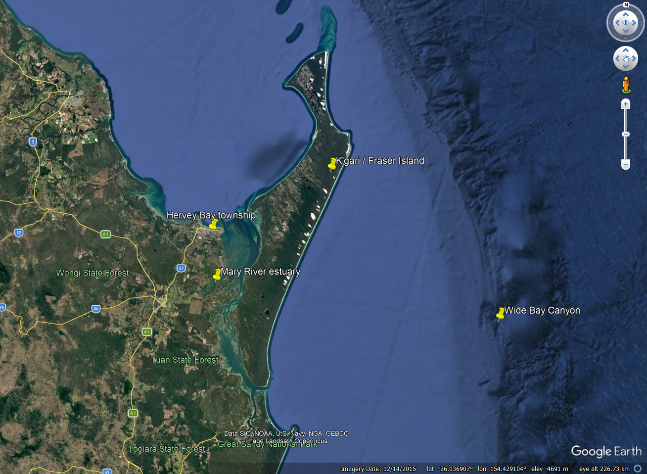
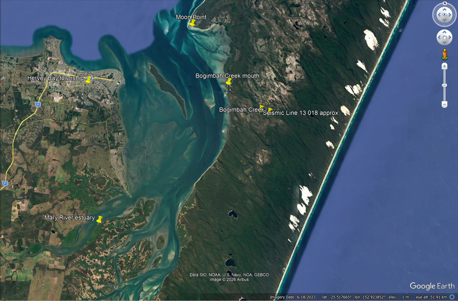
A study of the various reports indicates the occurrence of Mary River gravels at approx. 33m below the surface at location shown on Figure 2: Seismic Line 13 018.
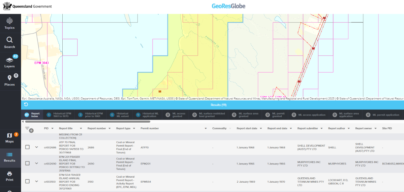
https://geoscience.data.qld.gov.au/data/report/cr002690
Following are excerpts of report CR2690. Reference to river gravels is made on page 3 of Murphyores report and in a cross section further in that report. Of note is Murphyores Incorporated Pty Ltd collaborated with oil & petroleum exploration companies exploring in the region and used Shell Development Australia seismic data. Shell’s results are presented below.
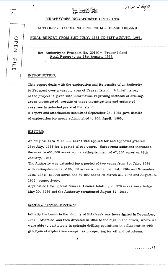
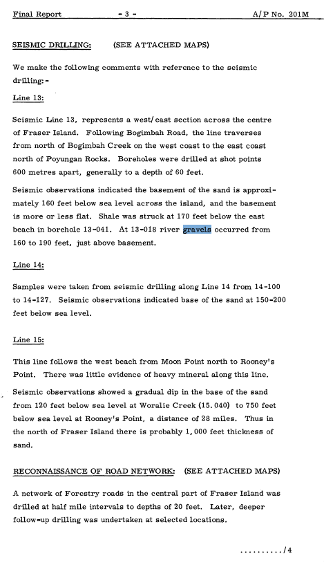
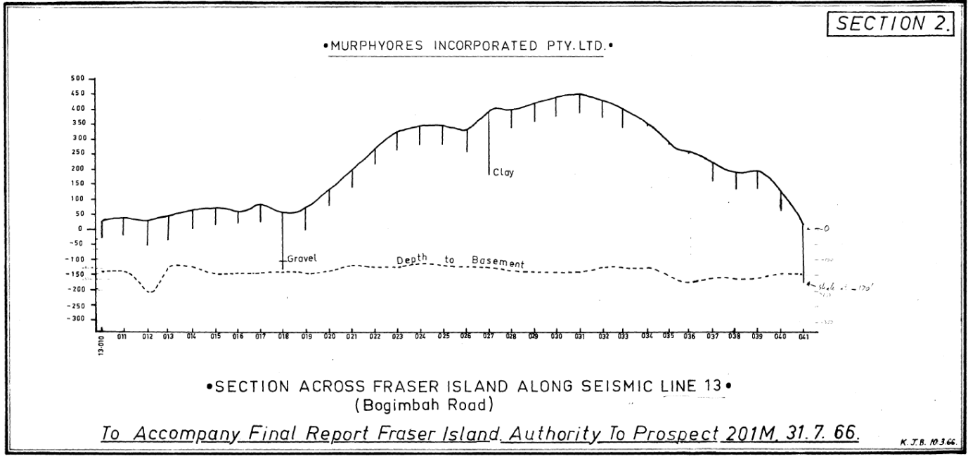
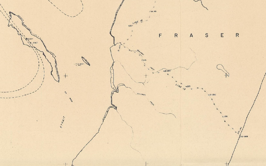
The location of ‘Line 13’ is shown on Figure 7 and taken from the New South Wales Rutile Mining Company report CR1184, 1963.
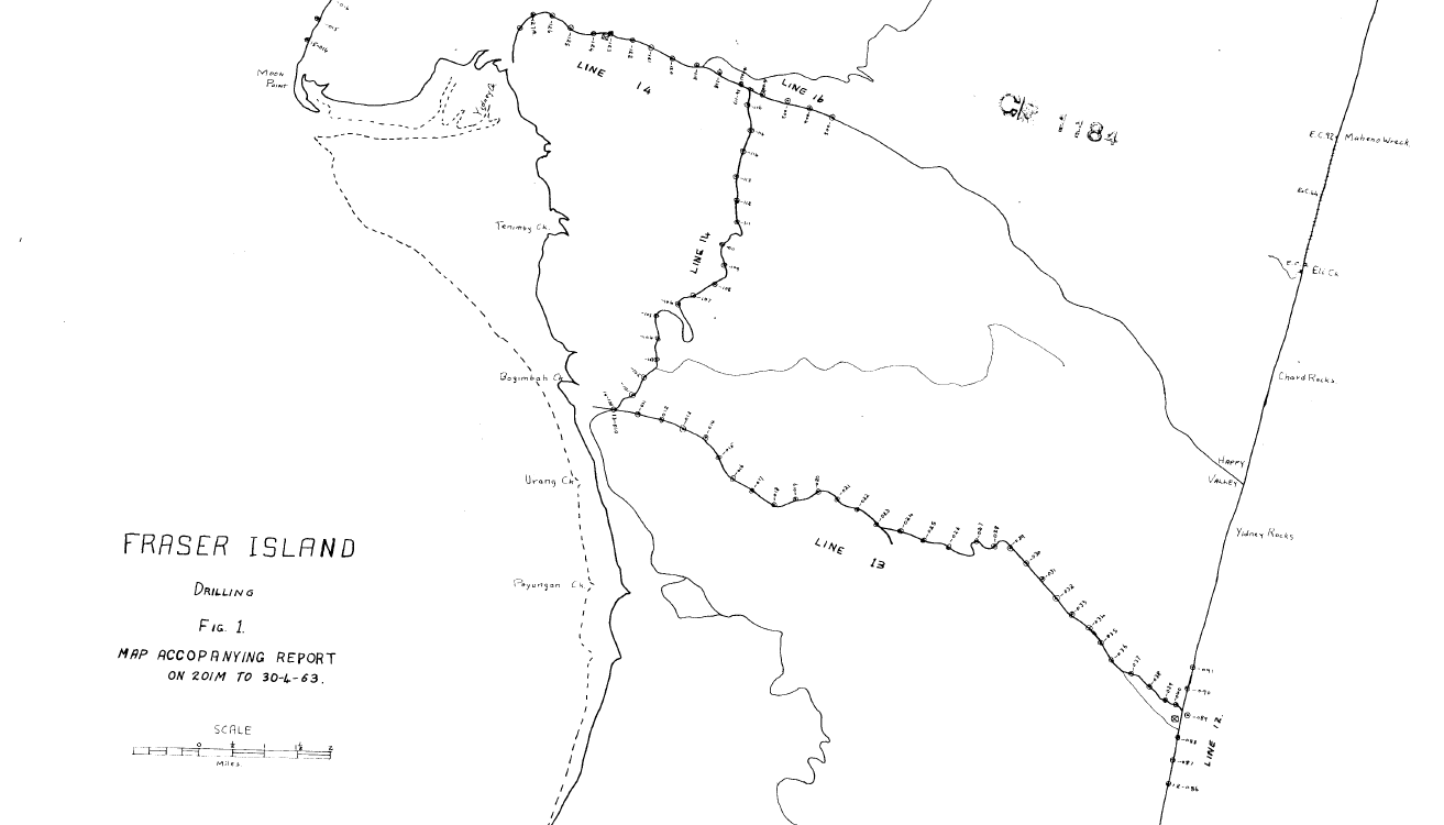
https://geoscience.data.qld.gov.au/data/report/cr001184
https://geoscience.data.qld.gov.au/data/report/cr001300
The location of seismic line 13 which for the western section follows Bogimbah Creek follows.